Rideau
Canal


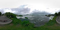
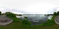
The Rideau Falls is located in downtown Ottawa. The Rideau River splits
into two just before it joins the Ottawa River as seen is this Aerial view from Google Maps.
The river gets its French name "Rideau" (curtain) after the Appreciation of the
twin waterfalls.
A few hundred feet upstream on the Ottawa River, the
Rideau Canal was created in 1832.
| Previous Rideau Canal |
 |
 |
 |
Next |
 
|
||||
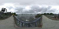
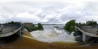
This pan is taken from Rideau Falls Park, the little island between the two waterfalls. The camera was on a pole over 15 feet is the air. The Canada and the World Pavilion and observatory is to the right.
2005/06/18 At 12:50 PM EST
|
Page last modified April 18, 2006 |